Okay, I'll let go the suspenders and tell you what it stands for. NAP actually means Normaal Amsterdam Peil, meaning Normal (right!) Amsterdam (yep!) Level, and it refers to the level of water by which all other levels are measured throughout Europe. Impressive huh? Well, I took this quote from a website I found on the subject:

"Because Amsterdam is largely below sea level, it relies on a system of dikes and dunes to protect it against the sea - the only city in the world that does so. This system is measured in Dutch-invented NAP.
Amsterdam’s water level measurements are set to a fixed point, known as the Normaal Amsterdams Peil (NAP), the Normal Amsterdam Water Level, based on the average level of the River IJ in Amsterdam in the 17th century!! This measurement has become a basis for altitude measurements throughout Western Europe. The current NAP height can be seen in the freely accessible passage between Amsterdam's City Hall and the Muziektheater opera house on Waterlooplein - three glass columns filled with water rising from the floor near the northeast entrance.

Two of the three (columns) indicate the actual water level at the coastal towns of Vlissingen and IJmuiden. At high tide, the water rises well above knee-level. Fortunately, sturdy dikes and dunes along the coast keep the North Sea at maintainable levels. Even more spectacular is the third column, in which the water bubbles up far above your head. That was the height of the North Sea during the flood disaster in the province of Zeeland in 1953.
The real NAP can be seen if you descend the staircase by the water columns: a large bronze plate indicates the exact level of NAP. From Helsinki to Rome, altitude is always measured relative to this bronze mark when roads, houses and bridges are built and, of course, when gauging the water level."

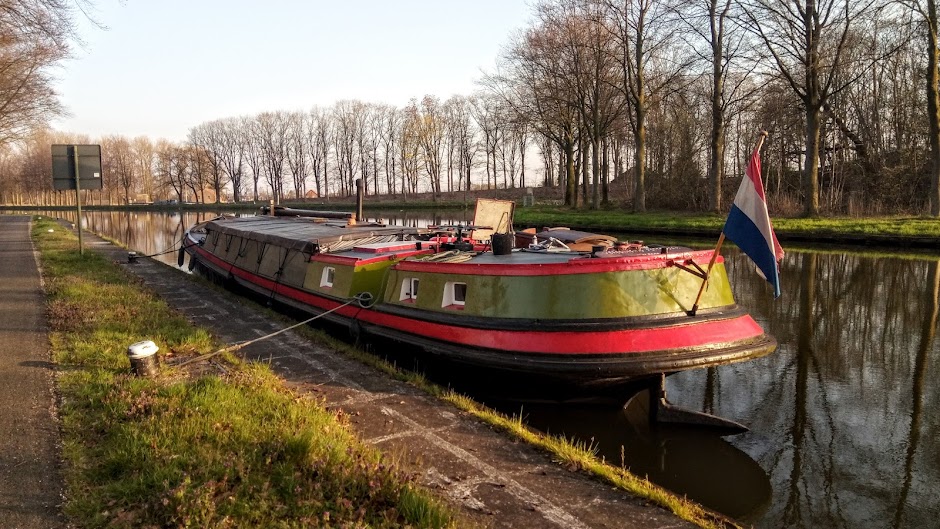
Pic taken by Koos today in Zeeland. NAP is zero, so this shows we were in a polder below sea level
Amazing, isn't it? Well, I find it even more interesting when going for a stroll in the country, you come across small sluices and pumping stations each with their own scale showing the NAP clearly marked. I guess the water level in the 17th century was probably a bit lower than it is today if we are to believe the global warming theories, but nevertheless, I find it rather special that the measurement set in Amsterdam getting on for four hundred years ago is still used as the benchmark not only for every local sluice gate, weir and lock in the Netherlands, but also for great engineering works throughout Europe.
It also makes me appreciate still more how brilliant the Dutch are at water management, and how there is more than just idle boasting to the old saying that "God made the world, but the Dutch made the Netherlands".


